12307 Midland Trail Rd.
Ashland, KY 41102-9674
DIRECTIONS
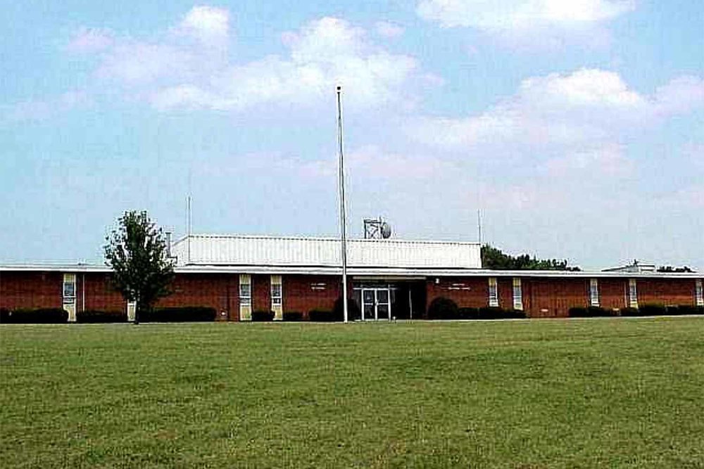
From West/Morehead/Grayson: Travel east on I-64 and take the KY-180 exit, Exit 185, toward Ashland/Cannonsburg/US-60. Turn left onto KY-180. In 0.7 miles, turn right at the second stoplight onto Midland Trail Rd. Travel .3 miles and turn left onto Copley Rd./CR-1246G and take an immediate left into the parking lot of the Boyd Co. Public Schools Heritage Building/Early Childhood Learning Center (formerly Boyd Co. High School). Park to the left of the main building near the school buses. Please note that the testing site is in a white building with a red roof in the rear to the left of the main building. The entrance will be in the back of the white building overlooking the track.
From North via US-23S/US-60: Travel south on US-23 and turn right onto US-60 (12th St.). Continue on US-60W for approximately 8 miles until it intersects with KY-180. Continue straight on KY-180 for 1.2 miles, and turn left just past Boyd County High School onto Midland Trail Rd. Travel .3 miles and turn left onto Copley Rd./CR-1246G and take an immediate left into the parking lot of the Boyd Co. Public Schools Heritage Building/Early Childhood Learning Center (formerly Boyd Co. High School). Park to the left of the main building near the school buses. Please note that the testing site is in a white building with a red roof in the rear to the left of the main building. The entrance will be in the back of the white building overlooking the track.
From South via US-23N: Travel north on US 23. Merge onto I-64W toward Lexington. Take the exit to KY-180, Exit 185, toward Ashland/Cannonsburg/US-60. Turn right onto KY-180. At the first stoplight, turn right onto Midland Trail Rd. Travel .3 miles and turn left onto Copley Rd./CR-1246G and take an immediate left into the parking lot of the Boyd Co. Public Schools Heritage Building/Early Childhood Learning Center (formerly Boyd Co. High School). Park to the left of the main building near the school buses. Please note that the testing site is in a white building with a red roof in the rear to the left of the main building. The entrance will be in the back of the white building overlooking the track.
 ADDRESS
920 Morgantown Rd.
Bowling Green, KY 42101
TIME ZONE - Central
DIRECTIONS
From Hopkinsville/US-68: Travel east on US-68/KY-80/Russellville Rd. to Bowling Green. Turn left onto US-231N/US-68E/Veterans Memorial Lane. Travel approximately 1.5 miles and turn right onto Morgantown Rd/US-231 BUS S. Travel 0.5 miles and the armory will be on the left.
From Owensboro/Natcher Pkwy: Travel south on Natcher Pkwy. Take Exit 9 for US-231S toward Bowling Green. Turn right onto US-231S/Morgantown Rd. Continue on Morgantown Rd for 1.6 miles (US-231S becomes US-231 BUS S) and the armory will be on the left.
From Glasgow/Cumberland Pkwy: Travel east on the Cumberland Pkwy until it ends at I-65. Merge left onto I-65S. Travel approximately 15 miles and exit onto KY-446W via Exit 28 toward US-31W/Bowling Green. Keep left at fork and follow signs for US-31W. Merge onto US-31W/US-68W/Louisville Rd. Stay straight as US-31W/US-68W/Louisville Rd. becomes Kentucky St. and then Adams St. (one-way). Follow Adams St. for 1.1 miles and upon reaching two-way traffic at University Drive, turn right at the first stoplight onto Old Morgantown Rd. Turn right at the end of Old Morgantown Rd onto Morgantown Rd. The armory will be on the right just past the Transportation Building.
From Louisville/I-65: Travel south on I-65 toward Nashville. At Exit 28, merge onto KY-466W toward US-31W/Bowling Green. Keep left at fork and follow signs for US-31W. Merge onto US-31W/US-68W/Louisville Rd. Stay straight as US-31W/US-68W/Louisville Rd. becomes Kentucky St. and then Adams St. (one-way). Follow Adams St. for 1.1 miles and upon reaching two-way traffic at University Drive, turn right at the first stoplight onto Old Morgantown Rd. Turn right at the end of Old Morgantown Rd onto Morgantown Rd. The armory will be on the right just past the Transportation Building.
Madisonville North Hopkins High School
 ADDRESS
4515 Hanson Road
Madisonville, KY 42431-6151
TIME ZONE - Central
DIRECTIONS
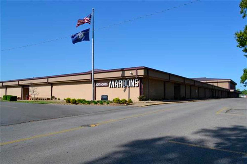
From Henderson/North: Travel south on 1-69 toward Madisonville/Fulton. Take the KY-260 exit, Exit 120, toward Hanson. Turn right onto KY-260 and drive 0.5 miles. Turn left onto US-41S/Hanson Rd. and travel approximately 2.7 miles. The high school will be on the right. Please note that the testing site is located in the fieldhouse adjacent to the football stadium behind the school.
From Hopkinsville/South: Travel north on Edward T. Breathitt Pennyrile Parkway toward Madisonville. Pennyrile Parkway N becomes 1-69N at the junction with Wendell H. Ford Western Kentucky Parkway. Continue north on 1-69. Take the US-41N exit, Exit 117, toward Madisonville. Merge onto Hanson Rd/US-41N and travel 0.8 miles. The high school will be on the left. Please note that the testing site is located in the fieldhouse adjacent to the football stadium behind the school.
From Elizabethtown/East: Travel west on Wendell H. Ford Western Kentucky Parkway toward Paducah/Leitchfield. Take Exit 38C toward l-69N/Henderson. Continue north on 1-69. Take the US-41N exit, Exit 117, toward Madisonville. Merge onto Hanson Rd/US-41N and travel 0.8 miles. The high school will be on the left. Please note that the testing site is located in the fieldhouse adjacent to the football stadium behind the school.
From Eddyville/West: Travel north/east on l-69N to the junction with Wendell H. Ford Western Kentucky Parkway and Edward T. Breathitt Pennyrile Parkway. Keep left on l-69N toward Henderson. Take the US-41N exit, Exit 117, toward Madisonville. Merge onto Hanson Rd/US-41N and travel 0.8 miles. The high school will be on the left. Please note that the testing site is located in the fieldhouse adjacent to the football stadium behind the school.
Murray Police Department
NOTE: This location is used for Phase I Suitability Screener Tests ONLY. All Physical Agility Tests will be conducted at the Murray State University CFSB Center (see below).
 ADDRESS
104 North 5th Street
Murray, KY 42071
TIME ZONE - Central
DIRECTIONS
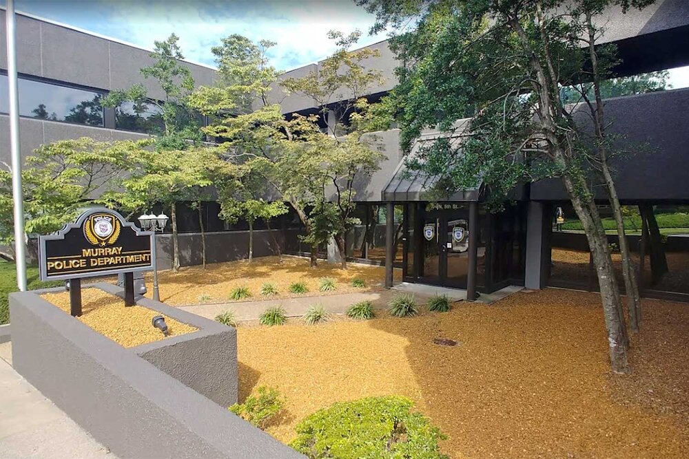
From Northeast/Paducah: Travel east on I-24. Take I-69S exit, Exit 25A, toward Fulton (formerly the Purchase Parkway). Proceed south on I-69 for approximately 10 miles. Take US-641 SPUR South, Exit 41, toward Hardin/Murray. Merge onto US-641 and continue south. Once in Murray, US-641S becomes N. 12th Street/US-641S. Proceed past Murray State University and turn left onto Main Street/KY-94. Travel several blocks to N. 5th Street and turn left. The Police Department is on the right. Park in the lot just past the department.
From Northwest/Eddyville: Travel west on I-24/I-69S. Keep left at I-69S exit, Exit 25A, toward Fulton (formerly the Purchase Parkway). Proceed south on I-69 for approximately 10 miles. Take US-641 SPUR South, Exit 41, toward Hardin/Murray. Merge onto US-641 and continue south. Once in Murray, US-641S becomes N. 12th Street/ US-641S. Proceed past Murray State University and turn left onto Main Street/KY-94. Travel several blocks to N. 5th Street and turn left. The Police Department is on the right. Park in the lot just past the department.
From East/Hopkinsville/Cadiz: Travel west on US-68/KY-80. Just past Kentucky Lake, stay straight on KY-80W for approximately 14 miles. Turn left onto US-641S. Once in Murray, US-641S becomes N. 12th Street/US-641S. Proceed past Murray State University and turn left onto Main Street/KY-94. Travel several blocks to N. 5th Street and turn left. The Police Department is on the right. Park in the lot just past the department.
From West/Mayfield: Travel east on KY-80 toward Murray. Turn right onto US-641S. Once in Murray, US-641S becomes N. 12th Street/US-641S. Proceed past Murray State University and turn left onto Main Street/KY-94. Travel several blocks to N. 5th Street and turn left. The Police Department is on the right. Park in the lot just past the department.
Murray State University - CFSB CenterNOTE: This location is used for Physical Agility Tests ONLY. Phase I Suitability Screener will be conducted at the Murray Police Department (see above).
 ADDRESS
1401 KY-121
Murray, KY 42071
TIME ZONE - Central